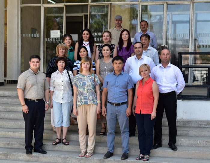
First Regional MODSNOW User Workshop held in Tashkent
From 1st to 5th of August 2016, the first Regional MODSNOW User Workshop was held in Tashkent (Uzbekistan). The workshop was hosted by the Uzbek Hydrometeorological Service (Uzhydromet) and its Drought Monitoring Centre. Overall 20 participants from the national hydrometeorological services of the five Central Asian states Kazakhstan, Tajikistan, Kyrgyzstan, Turkmenistan and Uzbekistan as well as scientists from Kyrgyzstan and Kazakhstan took part in the workshop.
The MODSNOW Tool
Snow is an important parameter in assessing seasonally available water resources in mountainous regions. Remote sensing provides spatially distributed snow cover information for high-altitude remote areas which serve as natural reservoirs over the winter season and substantially contribute to river runoff and groundwater recharge in the warm season. The MODSNOW Tool, developed in the frame of the CAWa Project, allows processes freely available, remotely sensed snow cover data provided by the MODIS sensor. The processing is completed automatically in operational mode with near real time data availability (2 days delay). Besides monitoring of snow covered area, the ready-to-use daily and river basin specific snow cover maps generated by the MODSNOW Tool can be used for improving seasonal water availability forecasts.
The MODSNOW Tool is currently installed at the hydrometeorological services of Kazakhstan, Kyrgyzstan and Uzbekistan. Moreover, the tool is also in application at CAIAG and RCH for water related research purposes.
Workshop topics
The MODSNOW user workshop was dedicated to introducing the innovative MODSNOW tool to end-users at Central Asian hydrometeorological services. The 1-week workshop combined theoretical lectures and practical exercises including discussion sessions on the application and implementation of the MODSNOW tool for user-specified watersheds in Central Asia. The program included an introduction to snow cover data from remote sensing, an overview to MODIS snow cover maps, as well as a detailed description of the MODSNOW tool and its implementation to new watersheds. The practical training enabled the participants to install, operate and adjust the tool themselves at their respective home institutions.
Attachments:
Submitted by Katy Unger-Shayesteh on