CAWA Training Course "Remote Sensing for Hydrometeorological Monitoring"
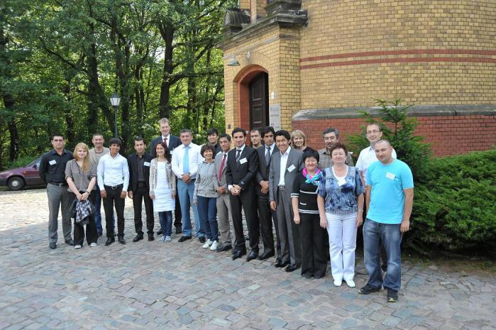
From July 16th to 20th, 2012, a training course with focus on Remote Sensing for Hydrometeorological Monitoring was hold at GFZ in Potsdam. The CAWa project invited 17 specialists of the Central Asian hydrometeorological services, research institutions and water management organisations to participate in the course. This course was organized in cooperation with University of Würzburg Faculty of Geography and Geology Department of Remote Sensing.
Relevance of Remote Sensing for Hydrometeorological Monitoring
Remote sensing data have become increasingly important for the assessment of water resources. They provide information in an objective and repeatable manner on large areas but are also suitable for small-scale applications. The analysis of satellite data plays an important role for example in water resource management, irrigation planning or disaster control. For the complex challenges in water and land management in Central Asia remote sensing can be a useful method for information retrieval, monitoring and assessment.
The workshop provides a theoretical background in remote sensing as well as an introduction to specific applications in water monitoring. The participants will be trained in using the software ArcGIS 10 with lessons of downloading, visualization and processing of satellite remote sensing data for hydrological modeling. A special focus is set on moderate resolution satellite data (MODIS) and land cover products (land use, snow cover, LAI) and the use of remote sensing based digital elevation models for deriving relevant topographical input parameters of hydrological models. Another focus is on the use of GPS samples for correct geolocation of hydrological measurements. The workshop aims at enabling experts from hydrometeorological services and research institutions in Central Asia to use independently remote sensing data for their specific tasks.
Course concept
First, an introduction to remote sensing concepts was be given. Several applications will be shown to demonstrate the use of ArcGIS 10. There will be an alternation of short theoretical modules and problem oriented practical exercises where specific problem solutions in remote sensing, for example river catchments derivation will be discussed. The exercises aim at producing individual land cover/water demand maps and snow cover maps and to discuss the results in respect of hydrological issues.
The course concept is prepared to adapt the program to specific requests of the participants regarding the topics of the water monitoring. The participants are encouraged to bring remote sensing and other geo data related to their current work.
Participants were expected to have basic knowledge of hydrological processes and modeling and possess some experience in geographical information systems (GIS).
For details, please see the course announcement.
The course materials are available at the eLearning platform of the CAWa project: http://elearning.cawa-project.net/moodle/
Contact the organizer
Stephan Duckert
Helmholtz Centre Potsdam
German Research Centre for Geosciences GFZ
Potsdam, Germany
phone +49 331 288-1038
email: duckert@gfz-potsdam.de
Attachments:
Опубликовано Stephan Duckert в