The online information tool WUEMoCA (Water Use Efficiency Monitor in Central Asia) constitutes a continuous and automated monitoring platform that provides free access to spatio-temporal agricultural geoinformation such as land use, crop type distribution, yield estimations, evapotranspiration assessments, and water use efficiency (e.g., irrigation efficiency) from the year 2000 onwards. This information is derived from open-source optical satellite remote sensing MODIS imagery and freely available global climate data. The spatial focus of WUEMoCA is on the irrigated cropland area in the Aral Sea Basin shared by Uzbekistan, Kazakhstan, Turkmenistan, Tajikistan, Kyrgyzstan, and Afghanistan. The tool completely builds on flexible and extensible open-source software packages, thus, it is open to modifications and adaptions to specific user demands. Key indicators allow for the identification of marginal lands with low productivity, the localization of areas with lowest or highest land use intensity and for assessments of the water use efficiency.
WUEMoCA has been developed in cooperation with the SIC ICWC (Prof. Dr. Viktor Dukhovniy), the Department of Remote at the University of Würzburg (Dr. habil. Christopher Conrad), and the German SME green spin GmbH in Würzburg (Gunther Schorcht) within the 3rd phase (2015-2017) of the Regional Research Network «Central Asian Water» (CAWa).
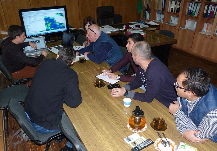
For the sustainable operation and maintenance in Central Asia, the entire tool system of WUEMoCA (Beta Version) with all its hardware and software components has been transferred in October 2017 to a server hosted by the SIC ICWC. Following this server transfer and aiming at the future regional administration, staff members at the SIC ICWC were trained in all technical aspects of the tool’s system. The administrator training included topics such as:
- Automated processing chain with server scripts for the processes of MODIS download, land use classification, yield modeling, evapotranspiration estimation, indicator calculation, and spatial aggregation,
- WebGIS with geodatabase structure, map server and web map services, map layer styles, and client web mapping application,
- Server scripts of the interactive user polygon tool My Polygons, and
- Server scripts of the Water use efficiency calculation tool.
Furthermore, potential use cases and according workflows for further potential technical modifications and improvements such as the implementation of new indicators have been discussed and exemplarily realized.
WUEMoCA (Beta Version) can be freely accessed by any current standard web browser using the URL www.wuemoca.net