Use of RapidEye satellite data for assessment of glacier and vegetation dynamics
The CAWa research group will use RapidEye satellite data to assess the dynamics of glaciers and vegetation cover in Central Asia. The respective scientific proposal has been approved by RESA – Rapid Eye Science Archive in October 2009.
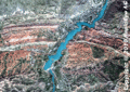
RapidEye earth observation satellites provide multi-spectral images with up to 15 daily revisits in a high spatial resolution of 6 m.
Submitted by Katy Unger-Shayesteh on