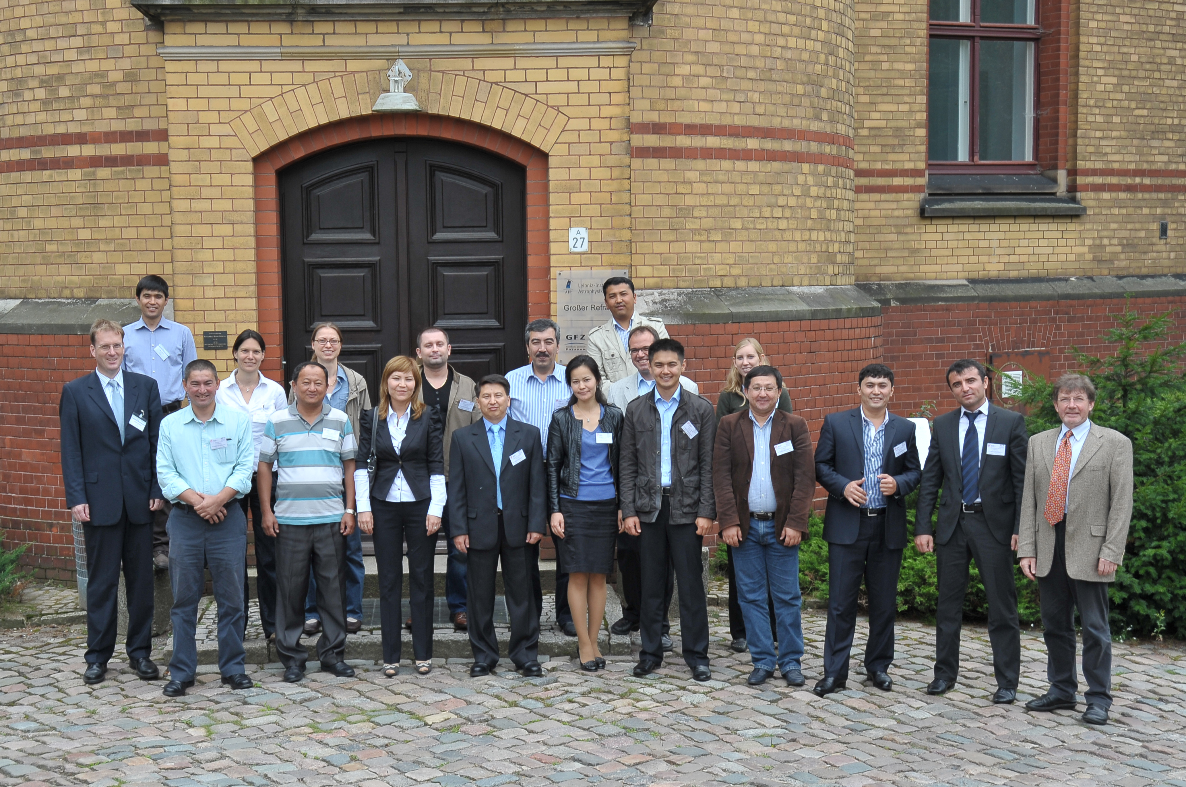
CAWa Training Course "Remote Sensing for Land Use and Land Cover Mapping"
From 15th - 19th August 2011 thirteen academics from water management organisations from the region Central Asia met to participate in a training course at the German Research Centre for Geosciences (GFZ) in Potsdam, Germany. For the first time including two colleagues from Turkmenistan. The training course took place in the GeoLab, the training and education facility of GFZ. Organizers were GFZ in cooperation with the University of Wuerzburg Institut of Geography and Geology, Department of Remote Sensing.
Relevance of Remote Sensing for Water and Land Management
Remote sensing data have become increasingly important for the assessment of landscapes. They provide information in an objective and repeatable manner on large areas but are also suitable for small-scale applications. The analysis of satellite data plays an important role for example in water resource management, landscape planning or disaster control. For the complex challenges in water and land management in Central Asia remote sensing can be a useful method for information retrieval, monitoring and assessment.
The workshop provided a theoretical background in remote sensing as well as an introduction to specific applications in water management. The participants were trained in using the software ITT VIS ENVI 4.7 with lessons of visualization and processing of satellite data for mapping. A special focus was set on land use and land cover classification of remote sensing data and the collection and use of GPS samples / control points and field data. The workshop aimed at enabling experts from research and water management institutions in Central Asia to use independently remote sensing data for their specific tasks.
Course concept
First, an introduction to remote sensing concepts was given. Several applications were shown to demonstrate the use of ENVI 4.7. There was an alternation of short theoretical modules and problem oriented practical exercises where typical problem solutions in remote sensing, for example atmospheric correction were discussed. The exercises aimed at producing individual land use and land cover maps and to discuss the results.
The course programme was adapted to specific requests of the participants regarding the topics of the land cover mapping. The participants were encouraged to bring remote sensing and other geo data related to their current work.
More information on the training and education activities within the CAWA project are available on the CAWA eLearning Platform.
Contact:
Hemholtz Centre Potsdam
GFZ German Research Centre for Geosciences
phone +49 331 288-1038
Attachments:
Submitted by Stephan Duckert on