Pakhtakor Glacier Expedition_2023
The study of the largest Pakhtakor glacier in Uzbekistan was started in the frame of the Green Central Asia Program and the CLIMWATER Project
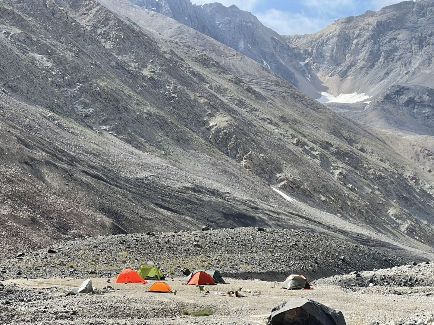
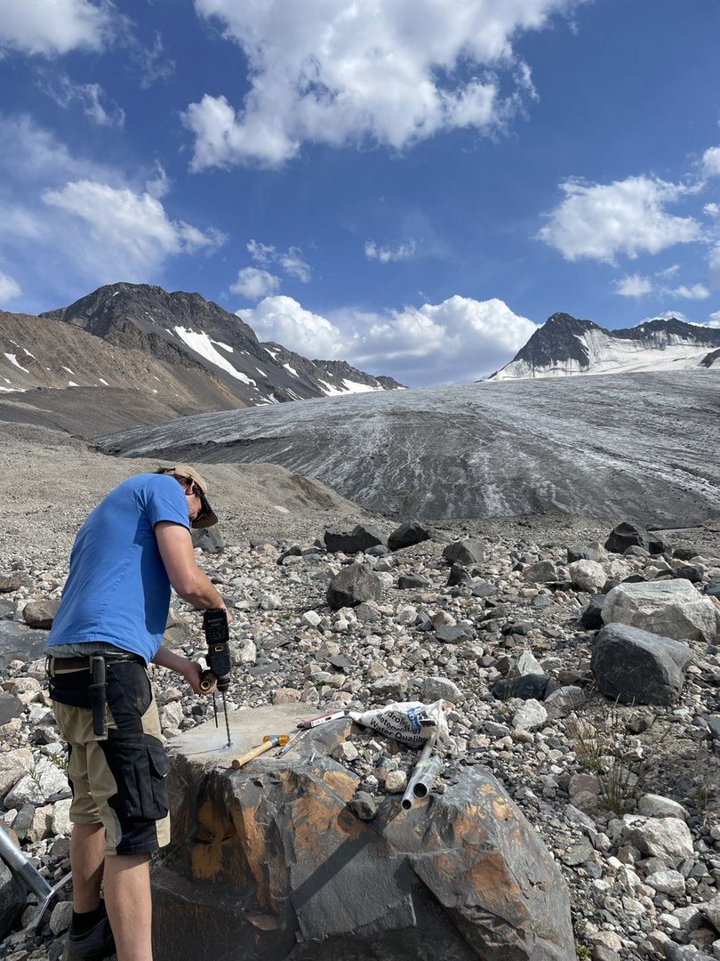
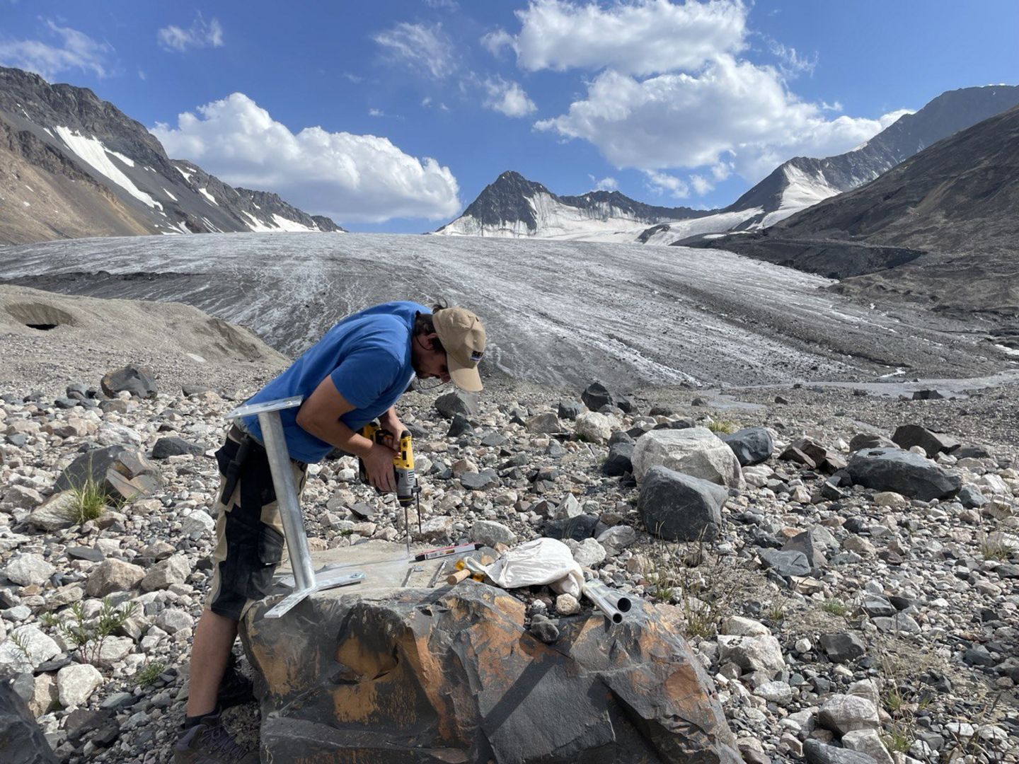
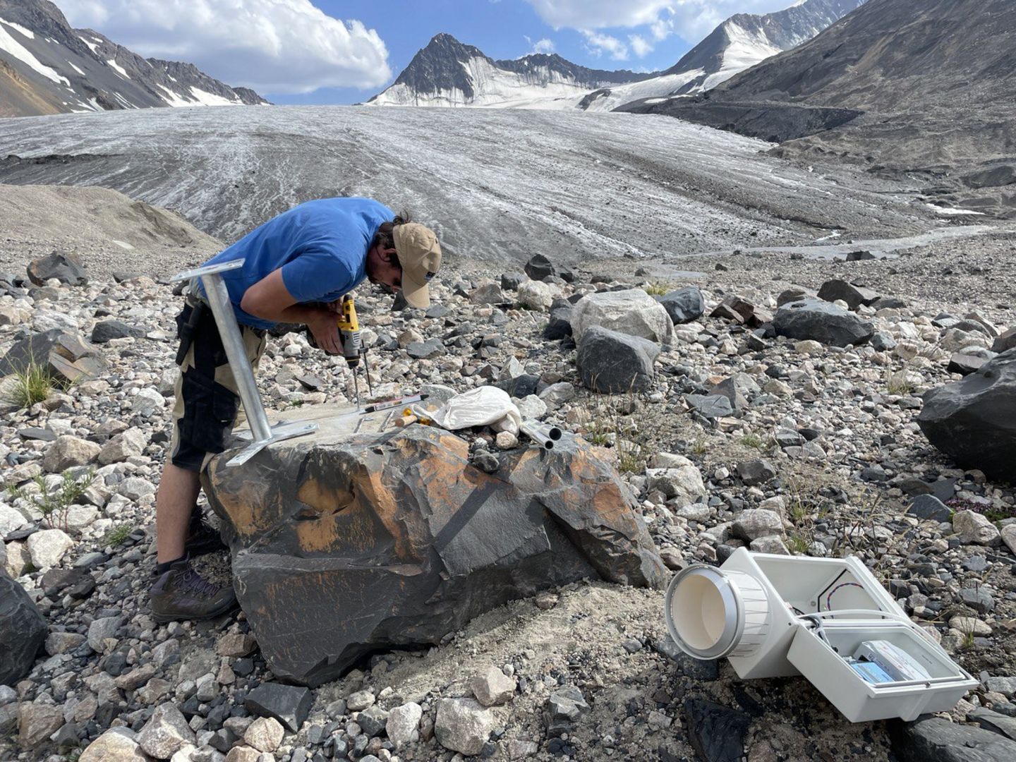
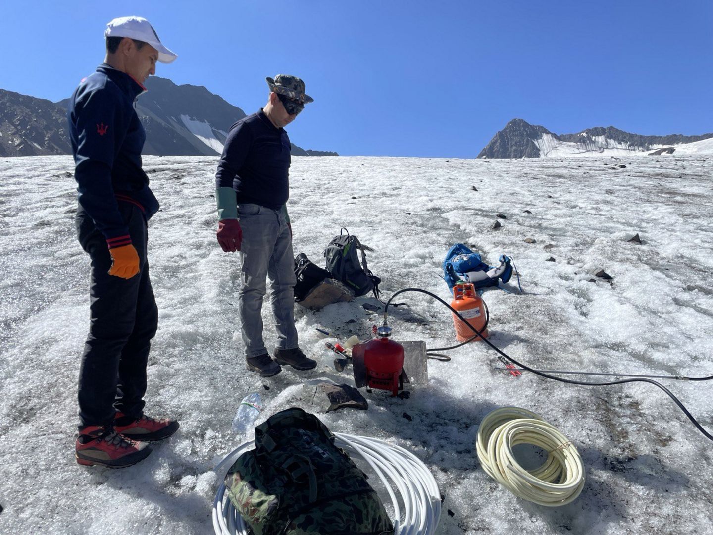
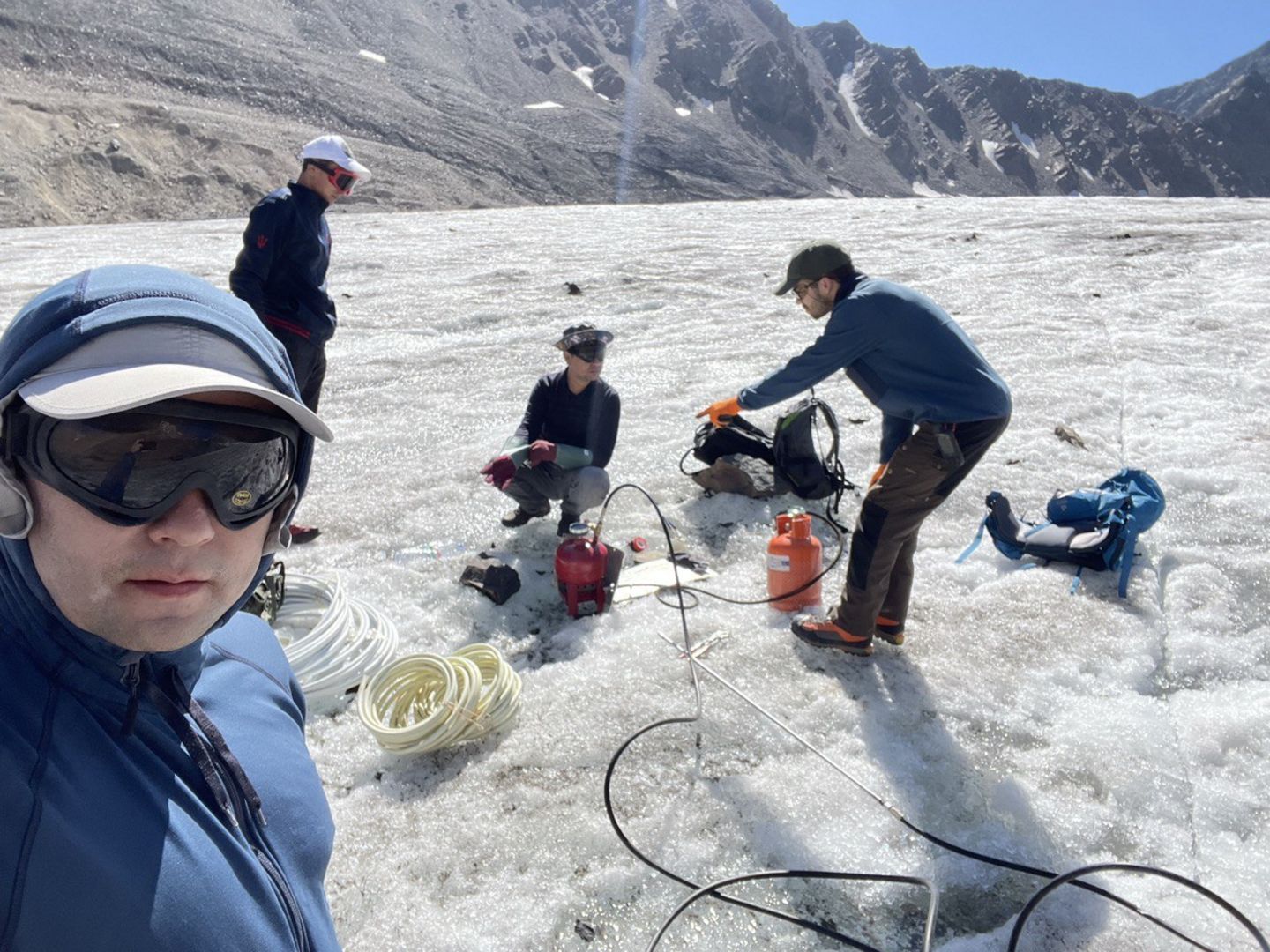
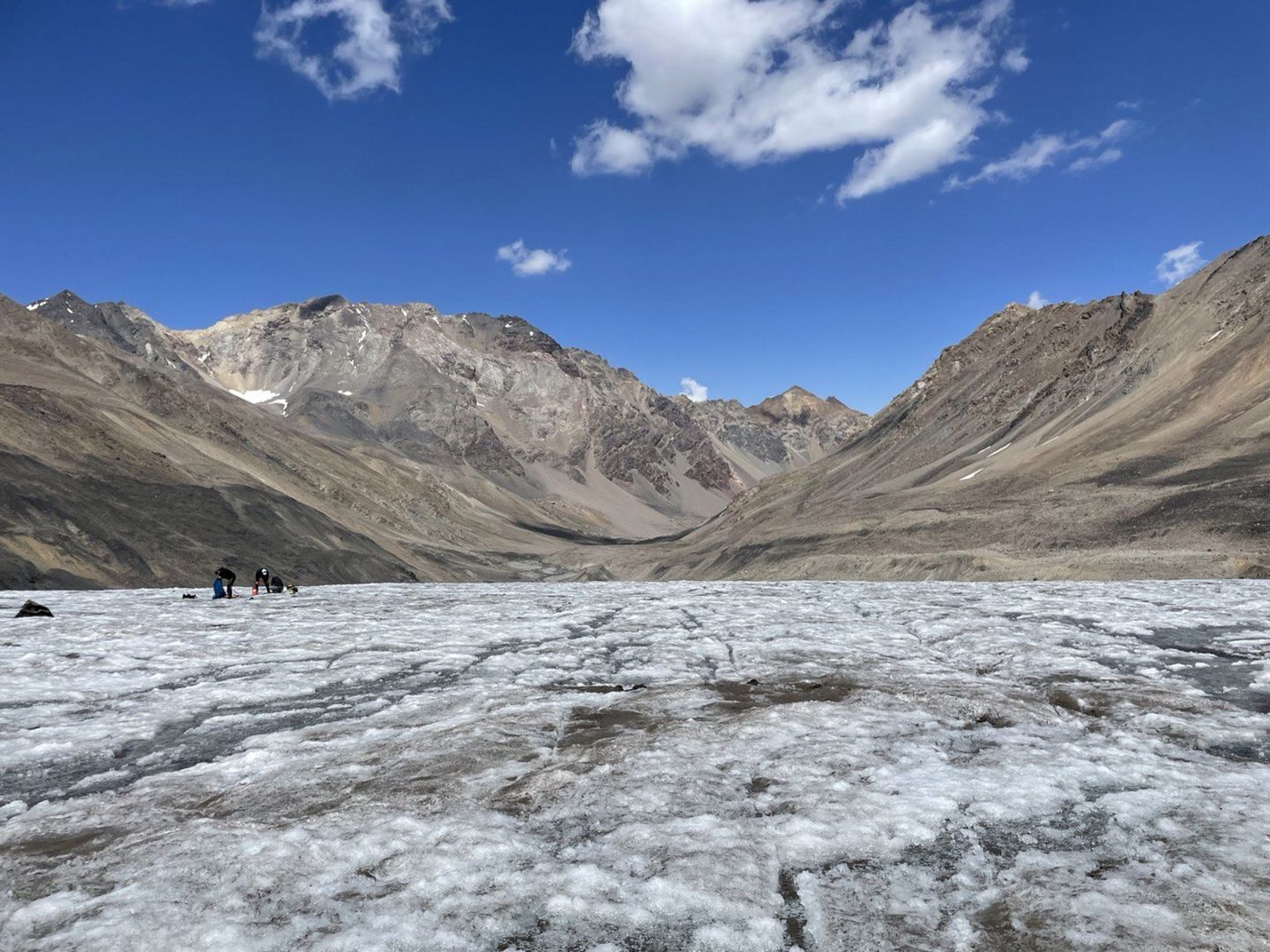
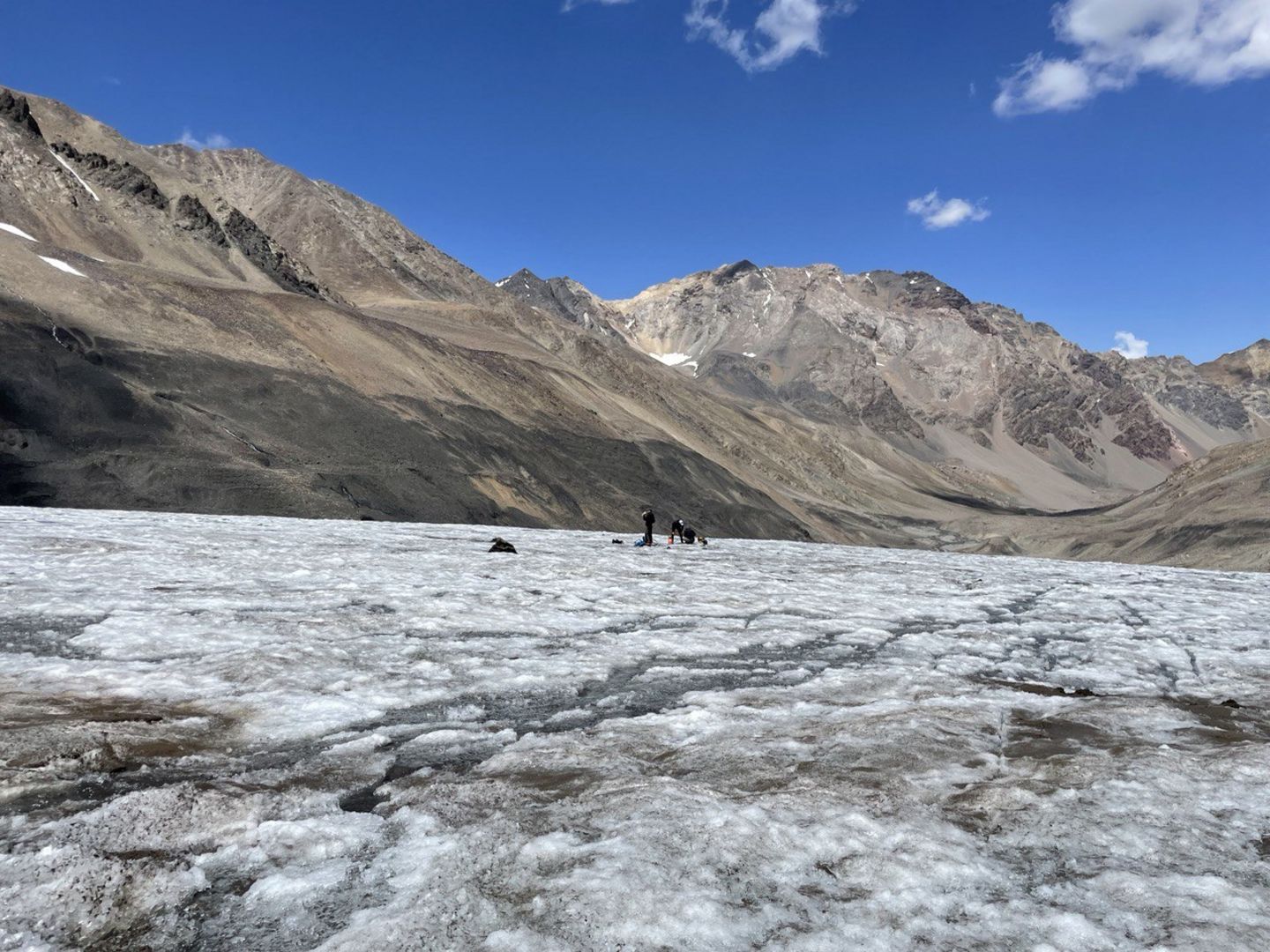
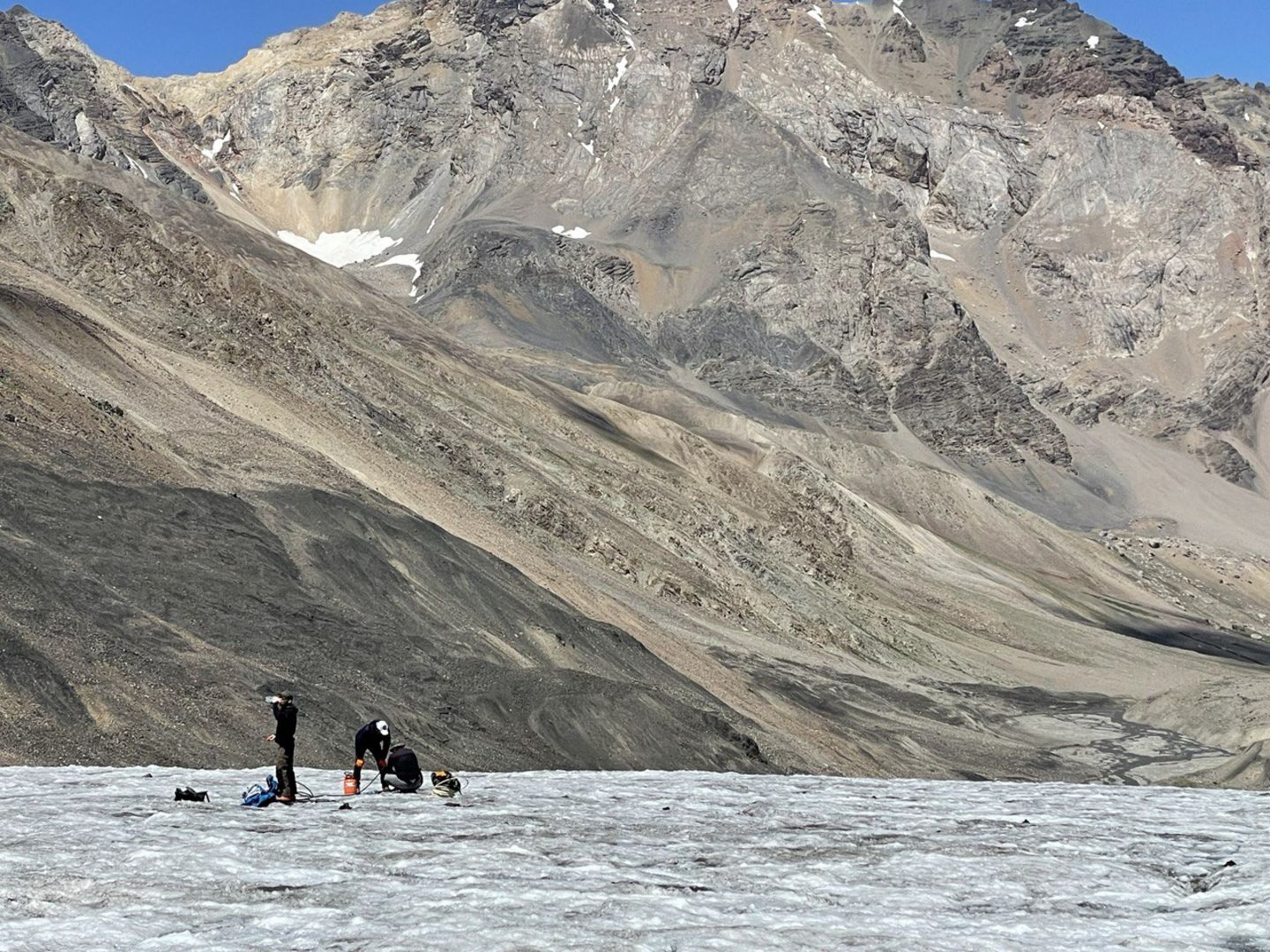
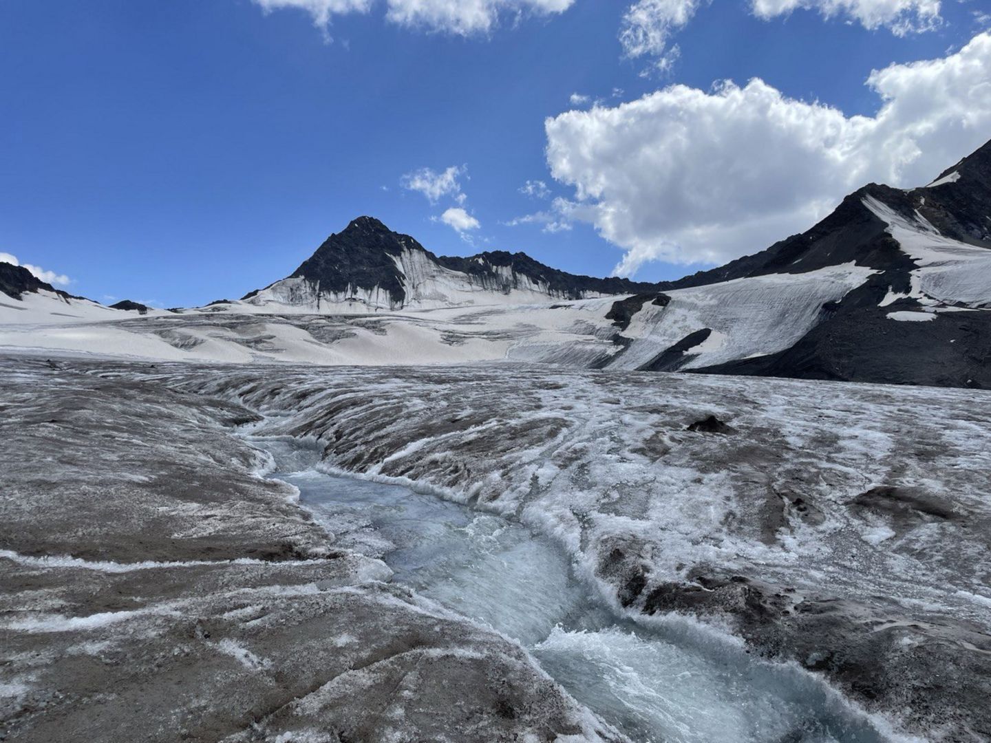
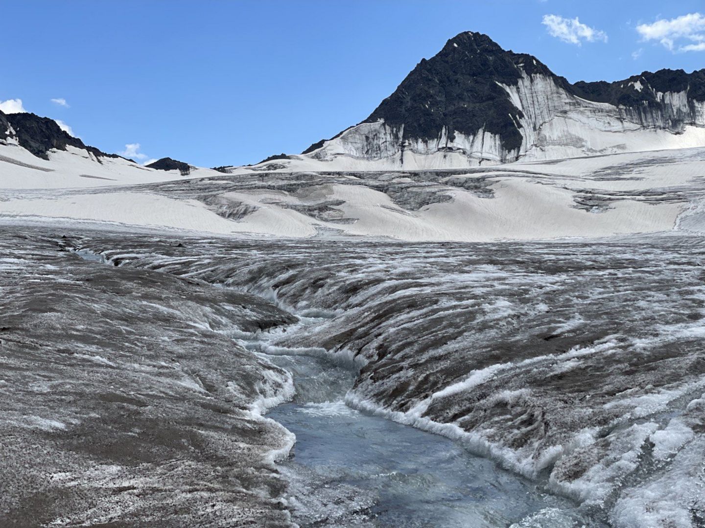
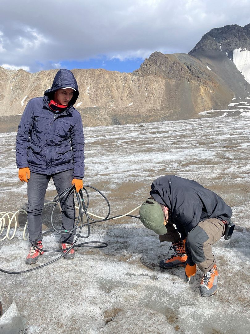
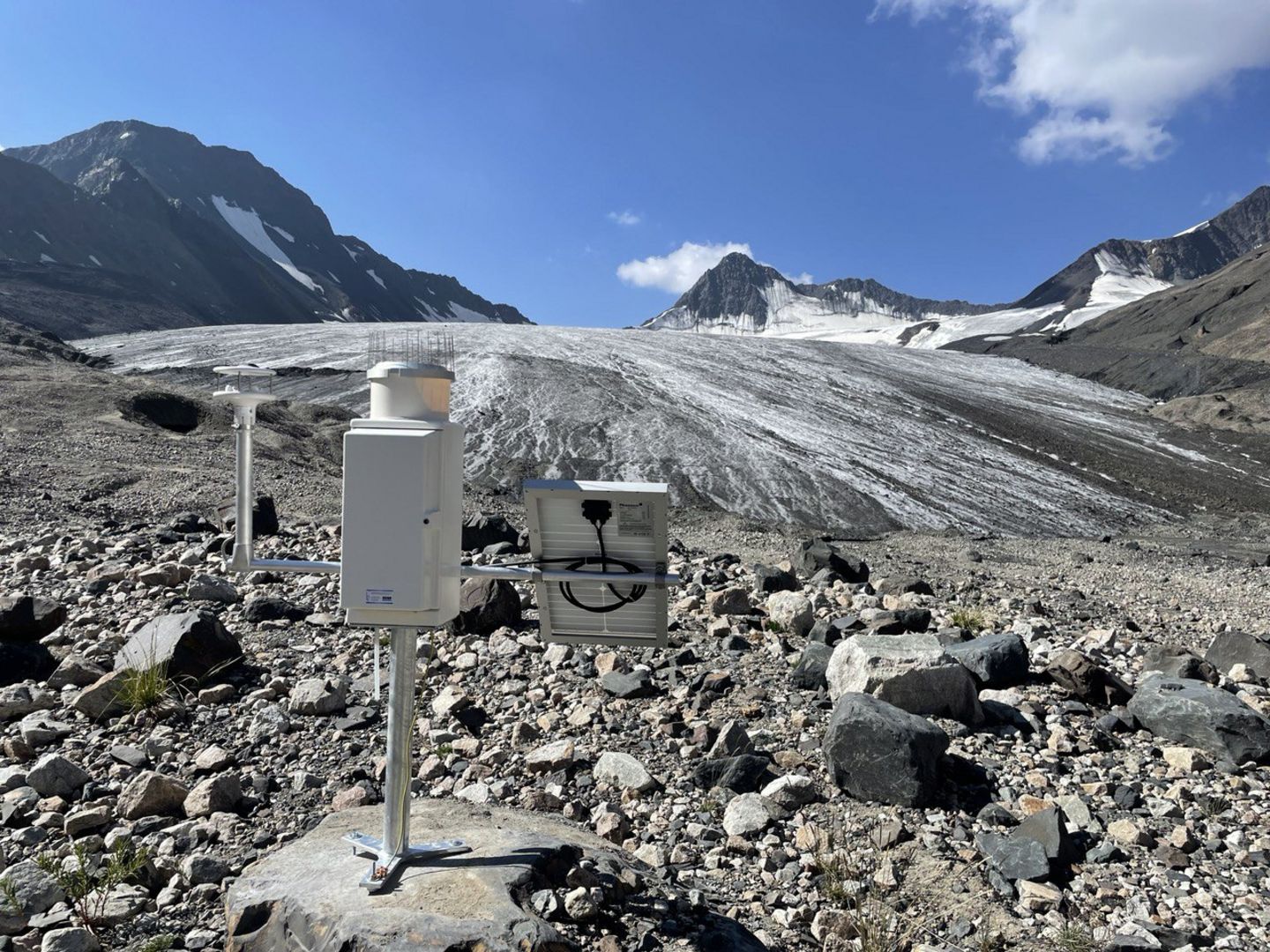
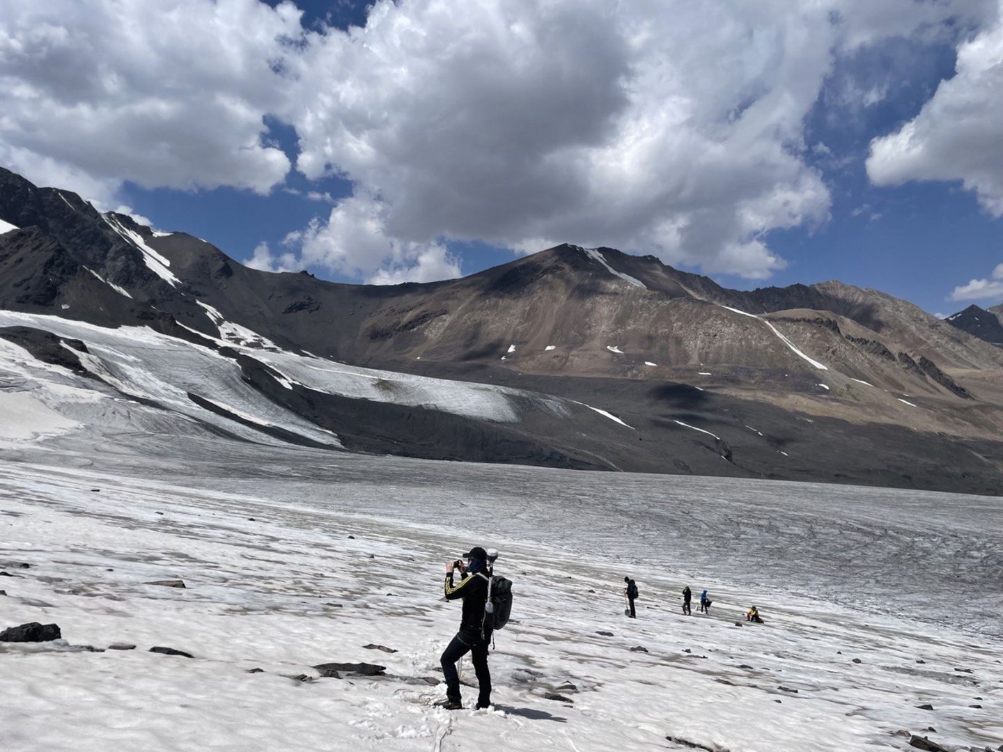
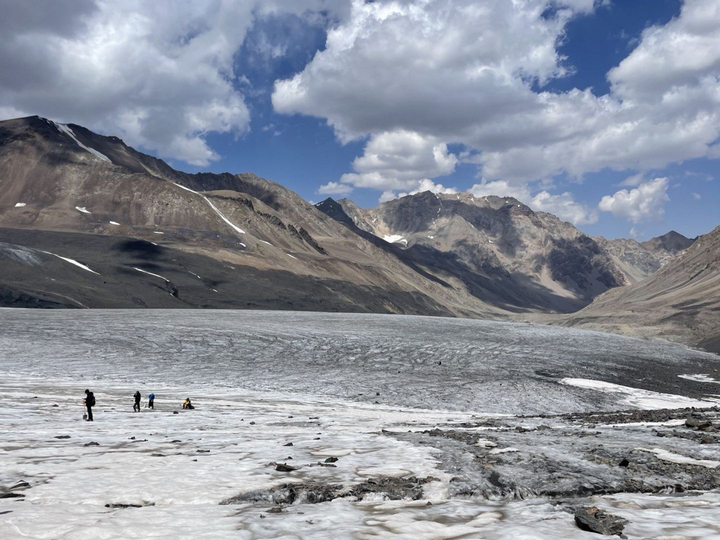
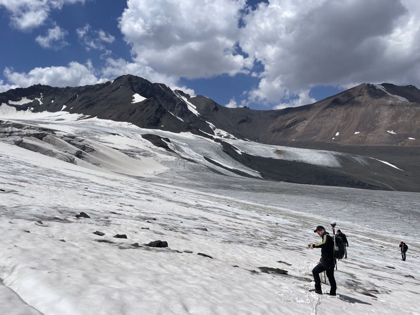
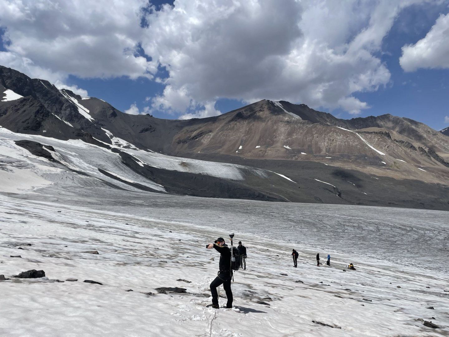
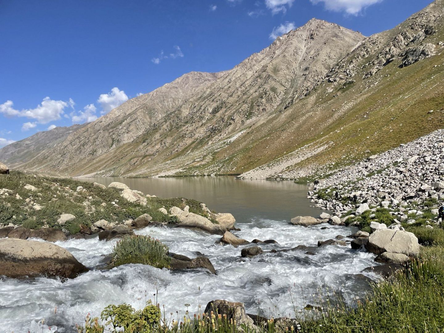
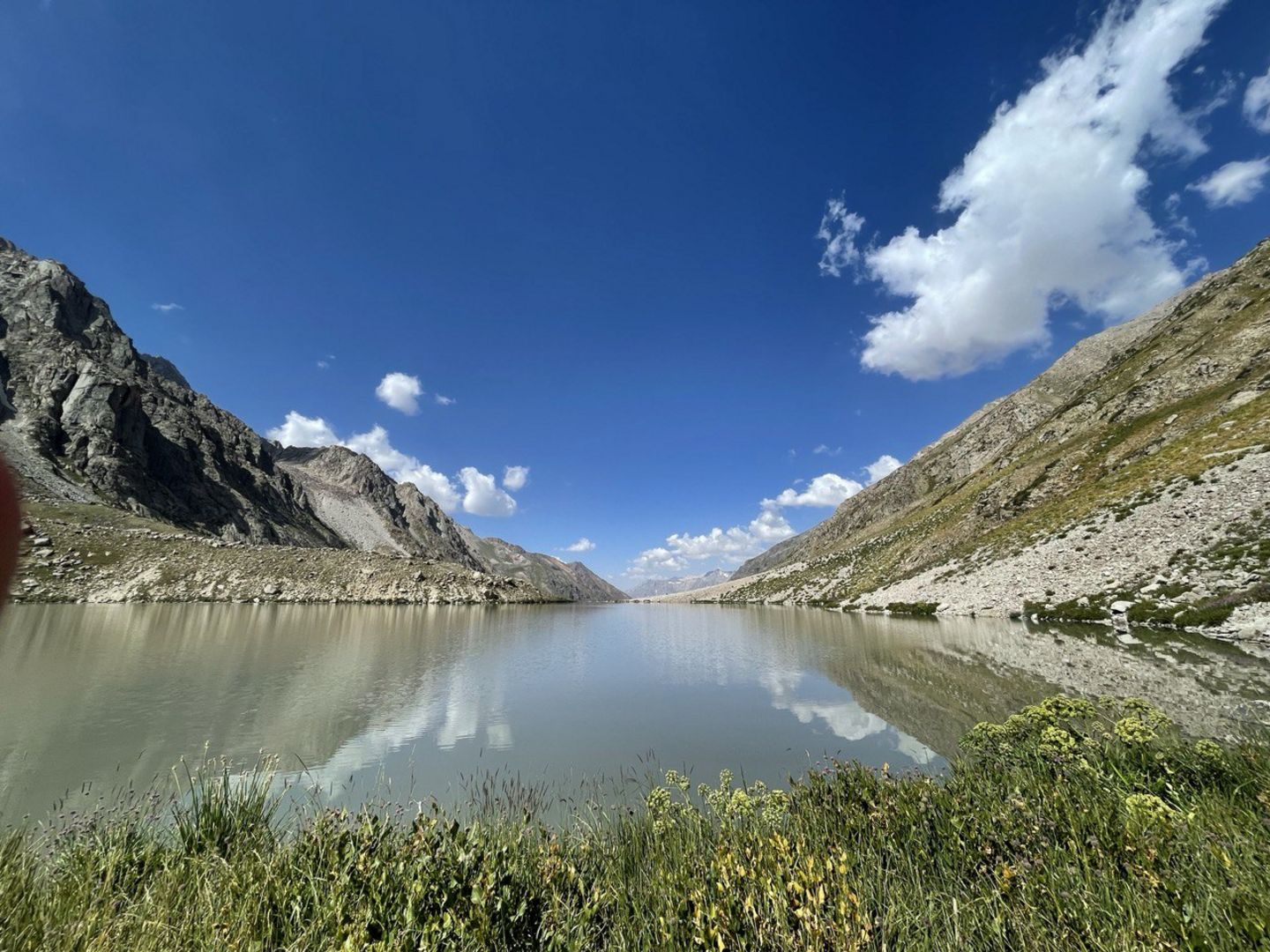
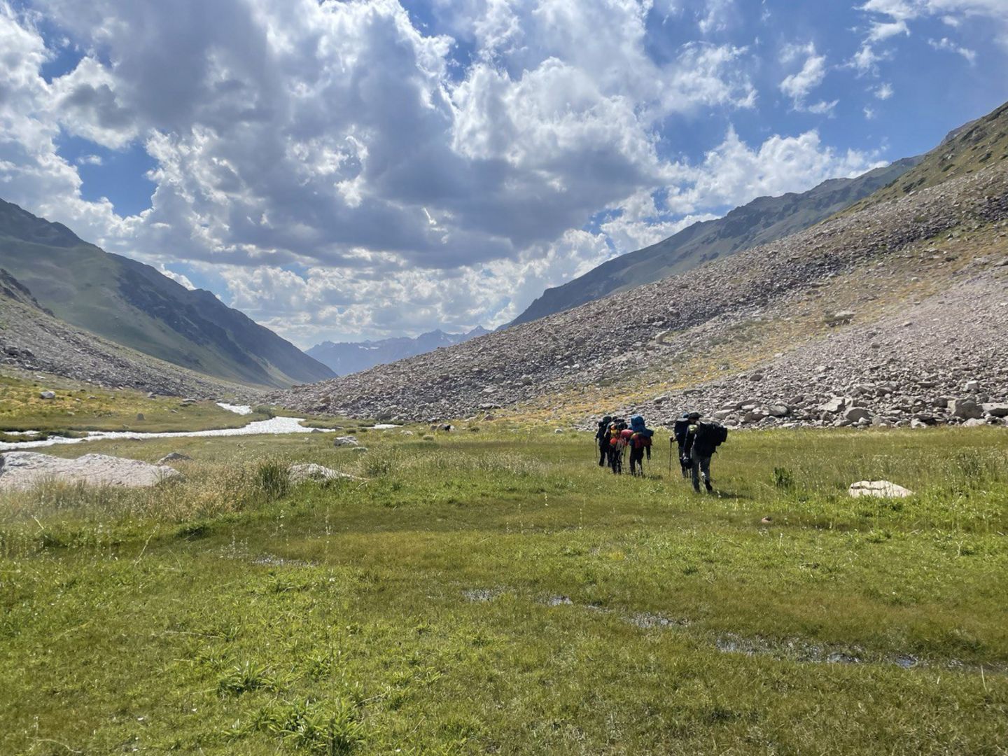
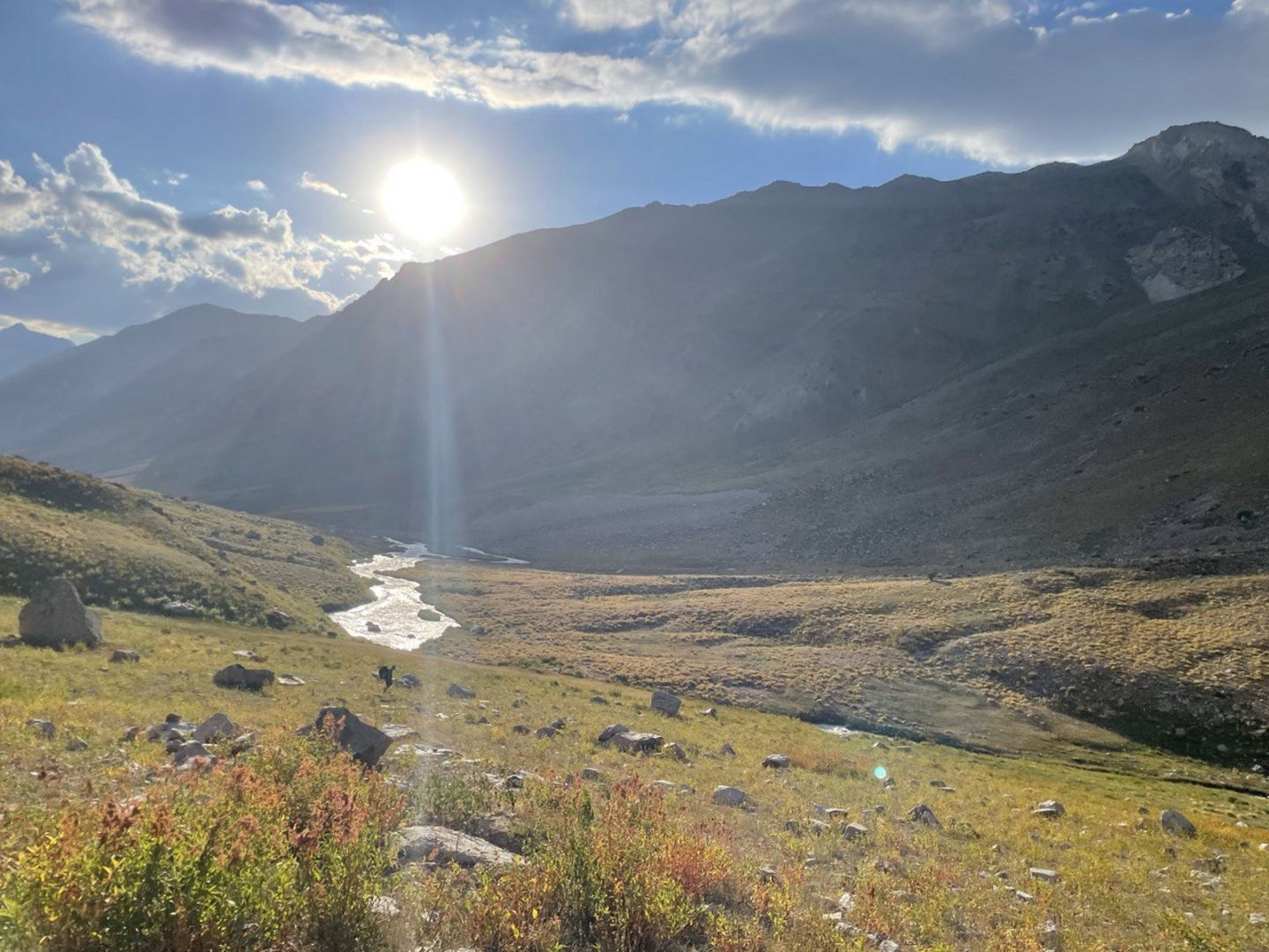
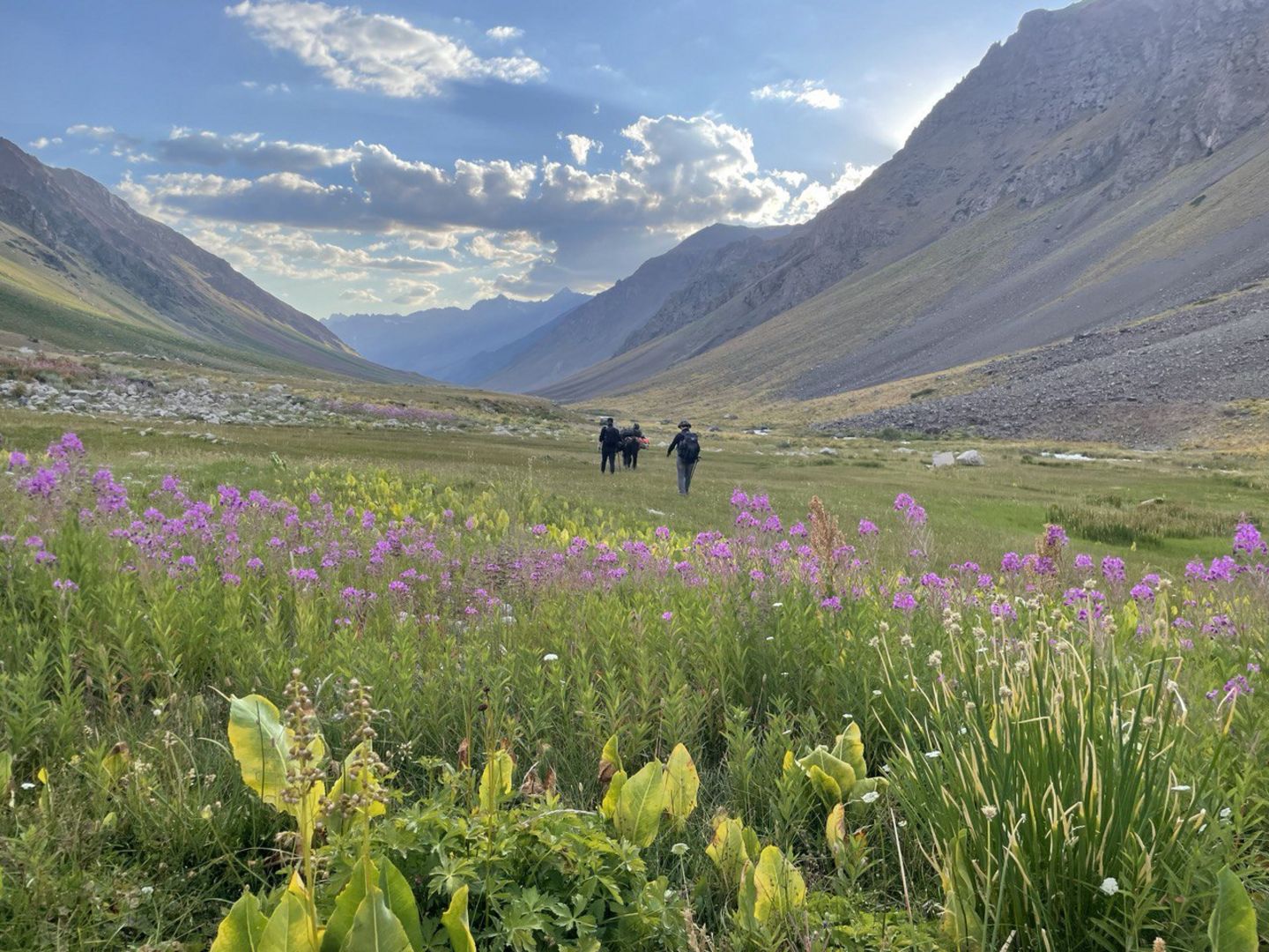
In the frame of the Green Central Asia Program and the CLIMWATER Project (Climate Impact Assessment on Water Resources in Uzbekistan: Impact on Agriculture and Hydropower Sectors) funded by the Innovation Development Agency of the German Federal Ministry of Education and Research and the Ministry of Higher Education, Science and Innovation of Uzbekistan, the study of the Pakhtakor glacier, located in the western part of the Republic of Uzbekistan, has begun. An expedition to the Pakhtakor glacier was conducted during July 27-August 1, 2023. Besides mass balance measurements of the Pakhtakor glacier, an automatic weather station as well as discharge station was installed to assess the impact of climatic factors on the melting process of the Pakhtakor glacier.
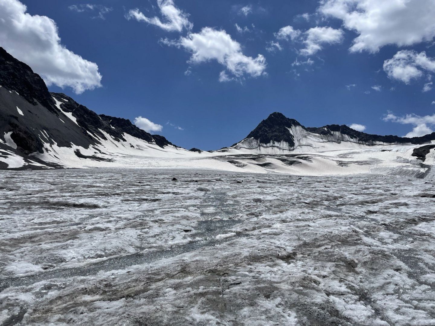
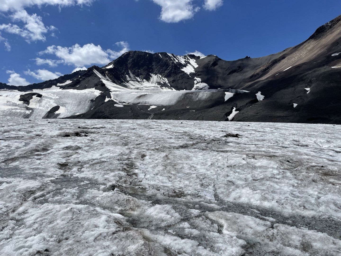
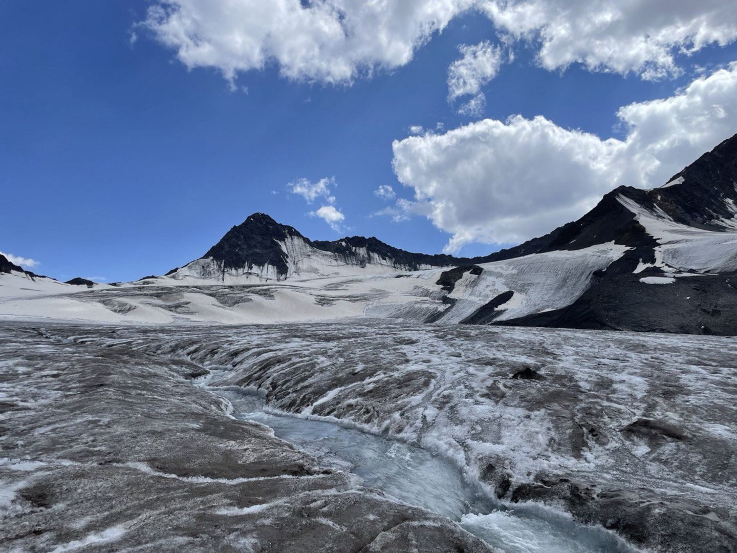
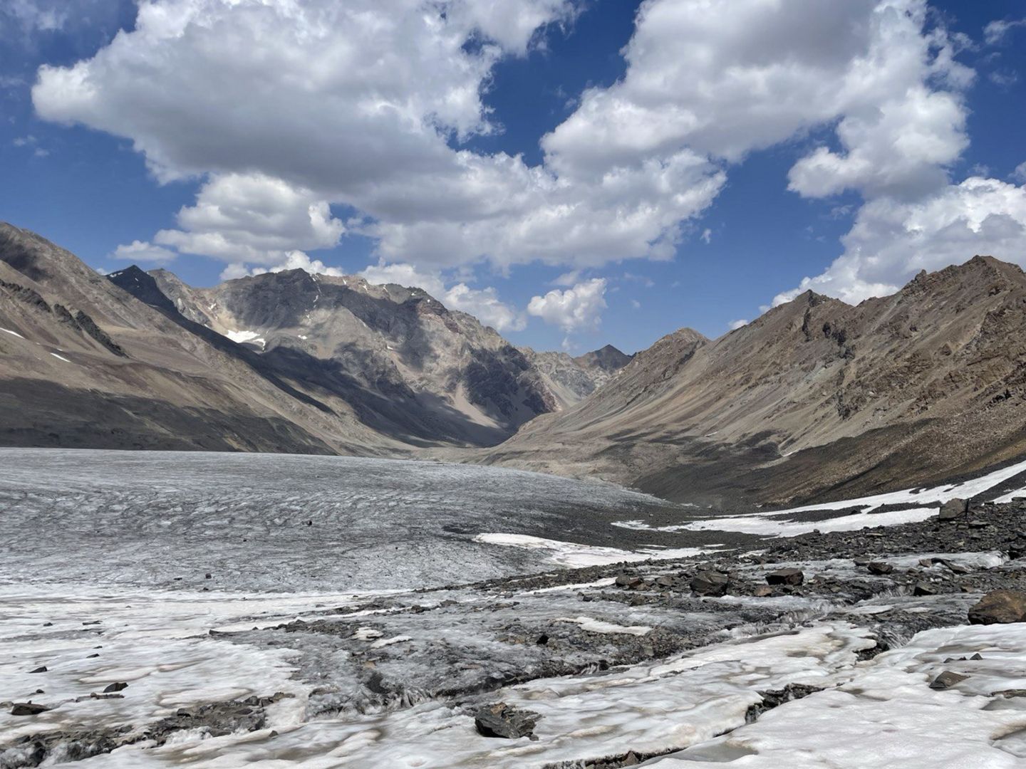
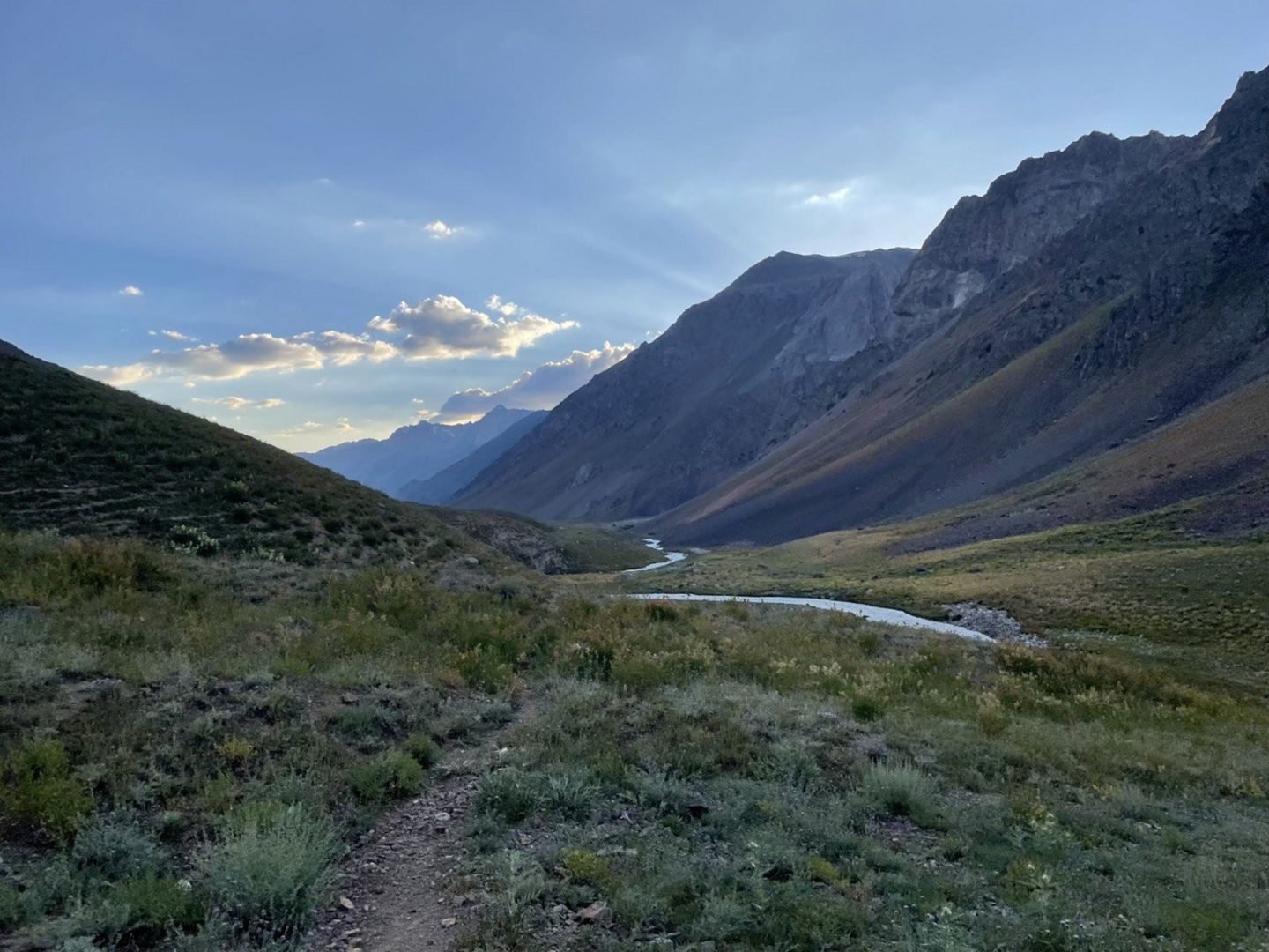
The Pakhtakor Glacier is one of the main glaciers feeding the Pskem River. There are about 140 glaciers in the Pskem river basin, and their total area is 128.8 km2, which is 4.5% of the water basin. The basin of the Pskem River is located in the east of the Tien-Shan Mountains, and the mountain ranges Ugom, Pskem, Talas.
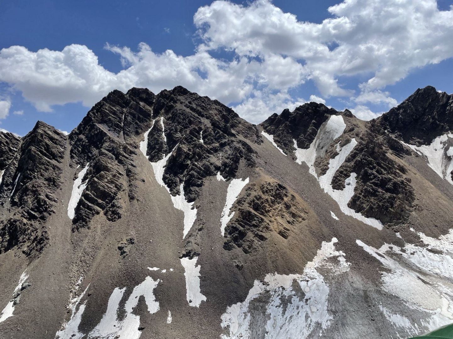
The Tien-Shan mountain system stretches from east to west to the territories of China, Kyrgyzstan, Kazakhstan and Uzbekistan. Glaciers are mainly located on the northern slopes, and many glaciers are fed by mixed, avalanches. Among the glaciers, Pakhtakor, Ayutorsky, Tekesh, Kozi, Kolesnik, Jenisu, Karabulakulkun and other glaciers can be noted. Many rivers flowing through mountain ranges are fed by ice and snow. Field work to determine the mass balance of the Pakhtakor glacier was carried out during the Soviet Union period, and was later left unexplored for unknown reasons.
As part of the project, the determination of the surface of the glaciers of the Pakhtakor glacier was corrected using GPS data in a post-kinematic method, and several ablation measuring stakes were installed in the ablation part of the glacier in order to monitor the melting of the ice for 1 year.
Detailed sensor setup:
Station | Maidantal |
Coordinates | 42° 9'35.78"N 71° 9'21.43"E |
Elevation | 3480 m |
River basin | Pskem |
Start of operation | 27.07.2023 |
Sensors: |
|
Air temperature | + |
Relative humidity | + |
Atmospheric pressure | + |
Rain gauge | + |
Wind monitor | + |
4-component radiation | + |


